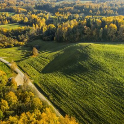
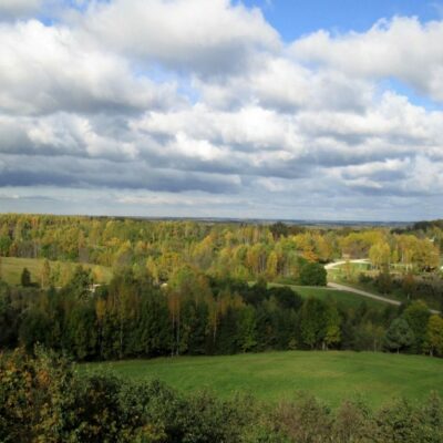
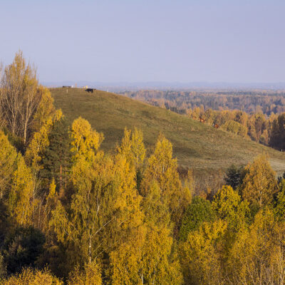
The landscape area “Veclaicene” was formed in 1977 to preserve and protect the characteristic cultural landscape and natural values of the northern Vidzeme. The highest hilltops of Veclaicene rise 230-270 m above the sea level (Dēliņkalns – 271.5 m, Sauleskalns – 266.7 m, Drusku castle mound – 247 m).
The Drusku castle mound is a national monument of archaeology. It is located in a hilly area on the northern shore of Lake Pilskalna. The archaeological excavations in 2007 showed that the castle mound has had two periods of inhabitation: 1000-2000 years B.C. and the 7th-10th centuries.
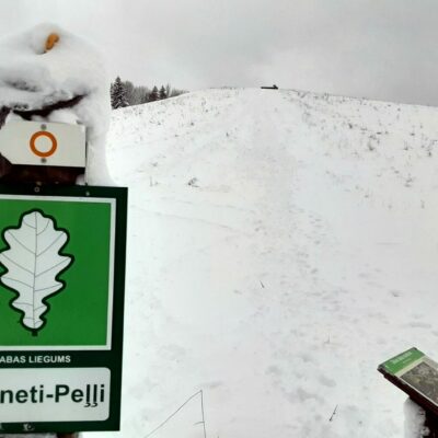
To reach the castle mound you have to walk along the nature trail starting at the Veclaicene administrative house. The length of the trail is 3.5 km. The information panels along the trail acquaint with the natural and historical values of the surroundings. On the top of Dzērves Hill there is a 27 metres high sightseeing tower, but on the top of Drusku Hill there is a landscape panel that helps to recognise up to 60 m distant objects in Estonia including the highest hill in the Baltic, Suur Munamägi. On the highest point – the top of the Drusku castle mound there is a place of recreation.
The main natural values in the surrounding of the castle mound is the European Union protected forest biotope – 9050 the EU significance priority biotope code coniferous forests rich in herbaceous plants, 9010* the EU significance priority biotope code old or natural boreal forests, 9180* the EU significance priority biotope code forests of slopes and ravines, as well as 37 especially protected bird species.
The Drusku castle mound is specific because of its south-western slope which towards the lake is extraordinary steep and high rising about 90 m above the water level of the lake. None of the castle mounds in Latvia has such a steep and high slope.


